MALAYSIA’S maritime area covers approximately 597,000sq km, nearly 1.8 times its land area. This is why the effective management of marine resources and boundaries is particularly important, says Laksamana Muda Dr Najhan Md Said.
As the National Hydrographic Centre (PHN) turns 21 this year, its director-general shines a light on its vital duties and roles that are not well-known among the public.
Terms like hydrography, nautical charting, and marine geospatial are rarely heard in mainstream media but they are the crux of the centre’s integral role as the national authority on hydrography, which is the science of measuring and describing the physical features of bodies of water.
Decades of history
Following the withdrawal of the British Royal Navy in the late 1960s and early 1970s, the Royal Malaysian Navy (TLDM) formed a hydrographic branch. In 1972, the Navy was charged by the Cabinet with conducting hydrographic surveys in Malaysian waters and the branch was upgraded. It began operating as PHN at its permanent headquarters in Pulau Indah, Port Klang, on Oct 15, 2005.
“We are the main national authority and reference centre for hydrography, nautical charting, and marine geospatial data,” says Najhan.
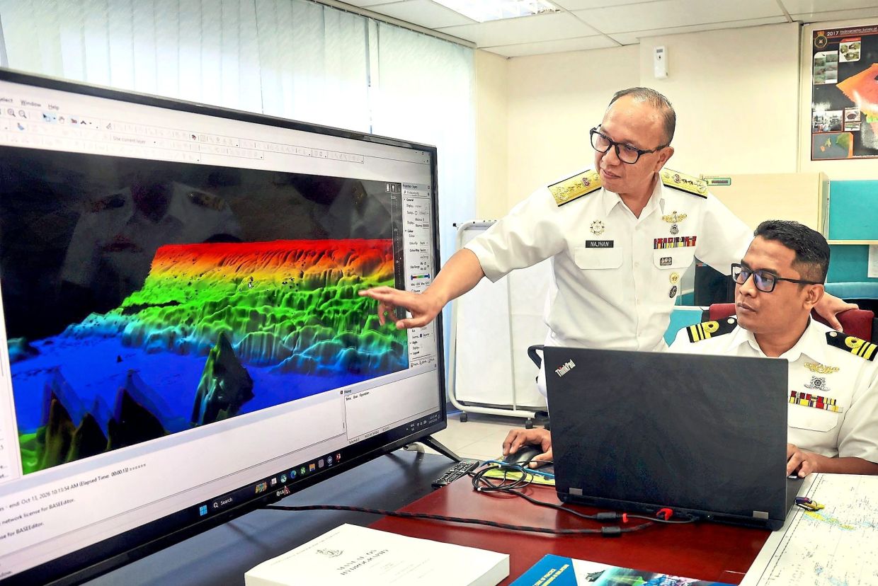
He goes on to describe the centre’s roles and duties, such as conducting bathymetric and hydrographic measurements of Malaysian waters using naval survey vessels to map the seabed. It is also tasked with producing, updating, and publishing authoritative nautical charts, sailing directions, and marine geospatial products to ensure safe navigation.
The centre also sets and manages standards such as the Hydrographic Code of Practice for Ports and Harbours in Malaysia to support safe port and shipping operations. It also maintains the national bathymetric database known as the Malaysia Bathy DataBase, compiling data from primary naval assets and secondary marine agencies.
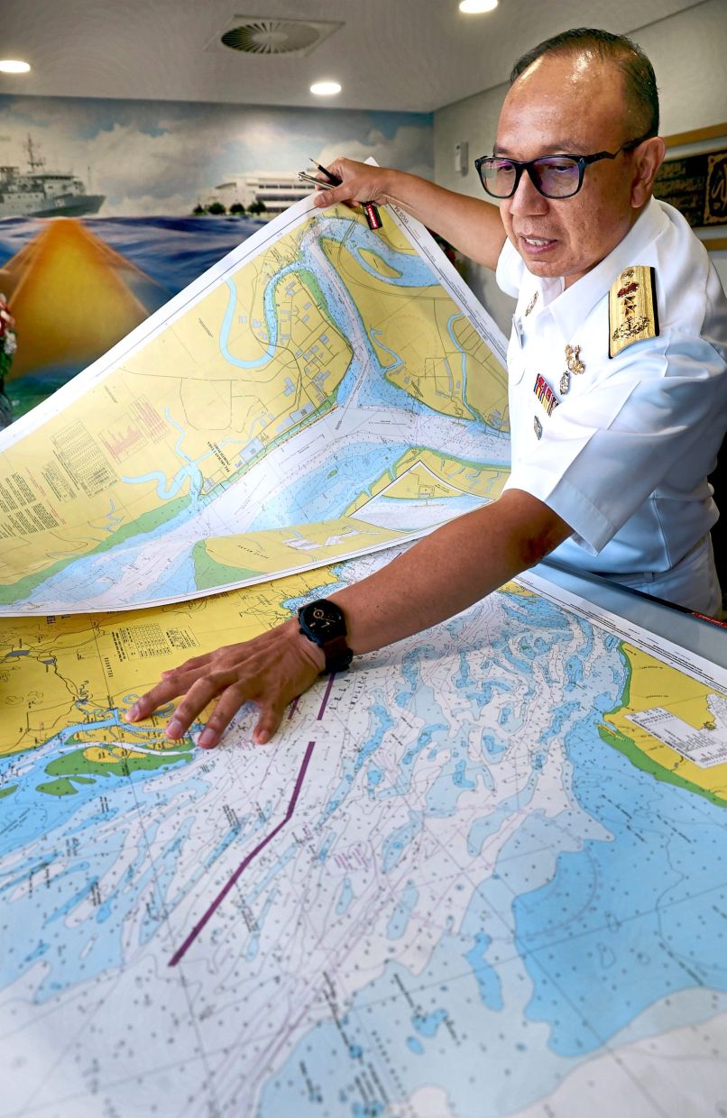
PHN also provides critical oceanographic, physical, and hydrographic data to support national defence, maritime security, and international maritime boundary delimitations.
It is Malaysia’s official representative to the International Hydrographic Organisation, and is responsible for upholding global standards.
Providing vital information
Najhan says the country needs to strengthen its seabed mapping capabilities as accurate marine data is crucial to protecting maritime interests, supporting economic development, and ensuring safe navigation through busy shipping routes.
Hydrographic data is becoming increasingly important beyond its traditional role in producing nautical charts for shipping safety. Such data is now essential for port development, offshore oil and gas exploration, submarine cable protection, marine tourism, and other activities that contribute to the country’s blue economy, he says.
“People often do not realise how much of our economy depends on the sea. Much of what we use is transported by ships, while critical infrastructure, including telecommunications cables and pipelines, runs along the seabed,” he points out.
Najhan says marine geospatial data provides detailed information about the seabed, including its depth, geographical features, and the location of underwater infrastructure.
“Such information is necessary to ensure vessels can navigate safely, particularly through strategic waterways such as the Strait of Malacca, one of the world’s busiest shipping routes,” he explains.
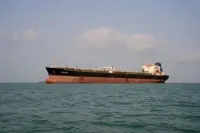
About 110,000 ships pass through the Strait of Malacca annually, highlighting the importance of accurate seabed surveys and close cooperation among maritime agencies.
“Safety in the Strait of Malacca depends on how well we manage the entire ecosystem. Our data helps identify safe routes, while other agencies provide navigational aids to guide ships through these waters,” Najhan says.
Need for its own dedicated department
The centre’s role is evolving alongside technological advancements, with hydrographic information increasingly being used to support national development and maritime planning, says Najhan.
Hydrographic data also plays a role in maritime boundary delimitation, where technical information could help Malaysia substantiate its position in discussions and negotiations with neighbouring countries over sovereign boundaries. Malaysia shares maritime boundaries with several neighbouring countries, making such negotiations complex and often lengthy, he says.
Accurate scientific data is essential in supporting Malaysia’s maritime claims and establishing a clearer understanding of its maritime domain.
With its duties becoming more and more necessary for Malaysia’s maritime needs, Najhan is calling for greater recognition of the centre’s national role, and has proposed establishing a dedicated department with its own legal framework.
He points out that the PHN currently operates under the TLDM, with its existence relying on that single Cabinet directive paper dating back to 1972.
“The proposed change has received agreement in principle from the relevant leadership, with further preparations needed before the proposal can be submitted to the Cabinet.
“A dedicated legal framework would provide a stronger institutional foundation for the centre’s responsibilities, particularly as marine geospatial data becomes more important to the country’s economy and security,” he says.
Increasing research avenues
Najhan also highlights the need to expand Malaysia’s hydrographic survey capacity.
Modern surveys have covered about 62% of the country’s maritime area, but shallow waters remain particularly challenging because survey equipment can only cover smaller areas at a time there.
Malaysia is expecting two additional 35m survey vessels under the 13th Malaysia Plan (2026-2030), with the vessels potentially becoming operational by the end of 2028 if the procurement and construction schedule proceed as planned.
The additional vessels would help accelerate seabed surveys and improve the country’s ability to obtain more comprehensive and up to date marine data.
Najhan says Malaysia is also looking at developing a national research vessel to support broader marine scientific research, including studies on water salinity and temperature. Local researchers often have to rely on naval vessels or foreign research platforms because the country lacks a dedicated vessel equipped for comprehensive marine research.
Sharing data – judiciously
Beyond national requirements, Najhan says Malaysia also needs to consider international efforts to improve the mapping of the world’s oceans.
In this, the upcoming Seabed2030 conference on Oct 20 is important in encouraging countries to share marine data and improve the global understanding of the ocean floor, says Najhan.
International cooperation in seabed mapping is necessary as large portions of the world’s oceans remain unmapped in sufficient detail, limiting scientists’ ability to study underwater geological features and tectonic plate movements. The latter can help to improve understanding of potential earthquake risks.
However, Najhan says sensitive information would need to be protected, particularly data relating to critical underwater infrastructure and national security.
“We need to determine what information can be shared and what must remain restricted. There is a balance between contributing to international scientific efforts and safeguarding our national interests,” he says.
Malaysia is gradually contributing information to international initiatives, including data on underwater geographical features such as seamounts and underwater hills and canyons.
Conferences like Seabed2030 can help strengthen cooperation among coastal countries and encourage a more coordinated approach to mapping the world’s oceans.
“The important thing is to contribute towards a more complete understanding of the ocean,” he says.
Greater public awareness of Malaysia’s maritime identity is needed, says Najhan, as the country’s economic interests extends far beyond its land borders.
“Malaysia is a maritime nation. We must understand the importance of our waters and the role they play in our economy, security, and future development,” he says.