

The ocean region crucial to the El Nino weather phenomenon is hitting its warmest temperatures since records began. According to data from the Climate Reanalyzer platform at the University of Maine, the average sea surface temperature in the so-called Nino 3.4 region has broken through the 30°C mark for the first time (as of Oct 5).
This puts it 3.39°C degrees above the average for the reference period from 1991 to 2020. The temperature curve has risen almost continuously in recent weeks and is significantly above all previous years’ curves.
“Nino 3.4” is a geographical region in the central and eastern Pacific and at the same time an important climate index for measuring the El Nino phenomenon.
Climate physicist Helge Gossling from the Alfred Wegener Institute (AWI) for polar and ocean research explained that such a temperature has never occurred since measurements began and almost certainly not long before that either.
We can “now clearly speak of an exceptional ‘super’ event”, he says. The strong El Ninos of 1997 and 2015 were more than 1°C cooler there at this time of year.
In the overall average of the oceans, surface temperatures were most recently at 21.08°C according to Climate Reanalyzer – also significantly above all previous years’ values.
During the course of this year, however, they were at times even higher. These values refer to the regions between the 60th southern and 60th northern latitudes, so the polar regions are excluded.
Possibly strongest since 1950
The World Meteorological Organisation (WMO) assumes in a new forecast that surface temperatures in the central and eastern Pacific will rise to further new highs between October and December.
At the same time, the particularly extreme El Nino this time will intensify further until it is expected to reach its peak in December. “El Nino has arrived and is rapidly gaining strength,” said WMO chief Celeste Saulo.
It is expected to persist beyond that: The WMO forecasts indicated with almost 100% probability that El Nino will persist until February 2027 – “which would possibly make it one of the strongest since at least 1950,” Saulo said. WMO says records began in 1950.
Above-average temperatures in large parts of the world are likely to be the consequence.
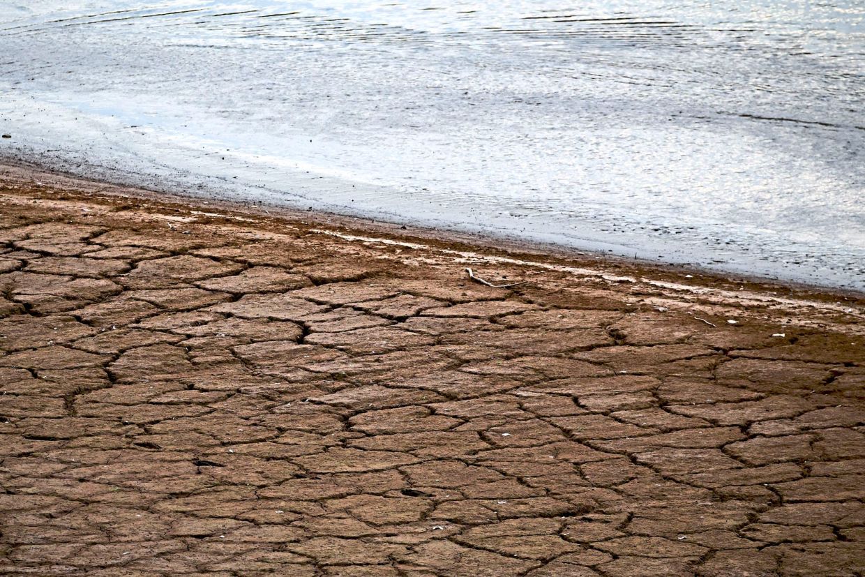
Changes in precipitation are also expected, meaning severe droughts or exactly the opposite – far too much rain – depending on the region.
“In Indonesia and other parts of Southeast Asia, in parts of northern South America and in southern Africa, the risk of pronounced drought is increasing,” said Gossling.
“If these important agricultural regions are affected simultaneously, this can have serious consequences for global food supply.”
Experts also fear that the droughts caused by the super El Nino will make even worse forest fires more likely.
Elsewhere, El Nino has the opposite effect: on the west coast of South America and in parts of East Africa, the risk of heavy rain, flooding and landslides increases, and in the eastern and central Pacific the risk of hurricanes.

Significant deviations from average temperatures
WMO data also confirm the enormous warming in the “Nino 3.4” region: in June, surface temperatures there were 1.6°C above the seasonal average, and in August already 2.5°C above. For October to December, the WMO even expects a difference of around 3.7°C above the seasonal average.
El Nino is a natural phenomenon that occurs every two to seven years. It is not caused by climate change, but can additionally intensify its consequences. In the crucial ocean region, warm, moist air then rises, which changes global wind and air currents.
“El Nino does not bring new heat to the planet. It releases heat that the ocean has already stored beneath the surface - which is why a strong El Nino event so often leads to one of the hottest years ever measured, as in 2024,” Saulo explained at a forum in Bangkok.
“The ocean from which it draws this heat is the warmest we have ever measured. There is simply more heat available for release.”

Gossling added: “In the annual average, 2027 could therefore set an even higher all-time record (since measurements began), similar to how 1998 and 2016 followed the strong El Ninos of 1997 and 2015 respectively. In the long term, however, man-made warming remains decisive for new heat records.”
Future strong El Nino events would then build on an ever higher baseline and thus favour ever new global temperature records. – dpa