

DID to continue desilting maintenance while experts call for study on anti-flood proposal to widen and deepen site
FLOODwaters of up to 0.6m have been inundating roads in Taman Antoi and Jinjang Utara in Kepong, Kuala Lumpur, leaving residents worried about recurring floods.
Residents are calling for remedial works at the Benteng 1 Flood Retention Pond (KTB Benteng 1), saying it can no longer cope with stormwater runoff from surrounding commercial and residential areas.
Taman Pusat Kepong Residents Association vice-chairman Lee Woon Chou said the affected roads included Jalan Antoi Kiri, Jalan Antoi Kanan, Jalan Silang, Jalan Jinjang Permai and Jalan Jinjang Damai.
“Whenever there is heavy rain, floodwaters can rise as high as 0.6m,” he said, adding that homes in the area had been flooded several times.
Kepong activist Yee Poh Ping said the annual dredging by contractors appointed by the Drainage and Irrigation Department (DID) had not provided a long-term solution.
“The pond needs to be widened and deepened so that it can hold more water,” he said.
Yee said the problem had persisted since 2010.
However, he said, there was a heavy machinery yard beside a sewage plant in Jalan 4/40 that might pose a challenge for DID if it was widening the pond.

DID director-general Datuk Mohamad Radzi Abdul Talib said there were no plans to deepen or widen the pond.
He said such works would require detailed studies on water flow, land availability, site constraints, nearby utilities and infrastructure, environmental impact and funding.
He said maintenance would continue, including dredging and removing silt and sediment.
The material would be taken off-site for disposal in line with regulations, said Mohammad Radzi.
“This is to ensure the pond can hold water effectively, manage runoff and reduce flood risk,” he told StarMetro.
The current work, which began on June 29, is expected to be completed by Dec 14, subject to weather, site conditions, and progress.
On the machinery yard, Mohamad Radzi said DID found that the facility was outside the pond’s operating area, and therefore outside the department’s jurisdiction.
He said KTB Benteng 1’s construction began in 2003 and was completed in 2007.
It began operating in 2008.
Its main components include an inlet, outlet, log boom, rubbish rake, drainage outlet and a control structure with tilting gates.
It also has a river water treatment plant.
The pond functions as a sediment forebay, trapping silt carried from Sungai Keroh before floodwaters are diverted through the Keroh Diversion and into KTB Jinjang.
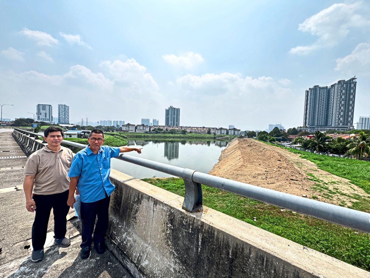
Its original storage capacity is estimated at 90,000m³.
Mohamad Radzi said the pond’s reduced capacity was due to silt and sediment build-up.
University of Nottingham Malaysia Faculty of Science and Engineering Prof Dr Teo Fang Yenn said widening the pond could be difficult because it was surrounded by roads, houses and shops.
However, he said certain sections could possibly be widened if road reserves, green areas or utility corridors were available.
“This could add a buffer of five to 15m without affecting private land,” he said.
“The possibility and extent of widening can only be confirmed through site surveys, land records and accurate on-site measurements,” he added.
Teo said deepening the pond was also not a simple job, as the safe depth would depend on ground stability, groundwater levels, maintenance needs and water quality.
He said stormwater ponds typically had gently sloping sides to ensure stability and allow safe maintenance.
“Digging deeper could reach the water table, leading to seepage, construction difficulties and unstable slopes.
“Any plan to deepen the pond should be supported by a geotechnical study, including boreholes, groundwater monitoring and slope stability checks,” he said.
Overly deep ponds could also create water-quality problems, Teo highlighted.
Lower layers might receive too little oxygen, causing organic matter to break down and produce gases such as hydrogen sulphide, methane and ammonia, he explained.

Malaysian Water Partnership vice-chairman Datuk Hanapi Mohamad Noor said rapid urbanisation must be considered.
He said more paved and built-up surfaces reduced water absorption into the ground, causing larger and faster runoff during heavy rain.
“If residents are complaining that backflow from the pond is flooding nearby housing areas, then clearly the pond’s current capacity is inadequate,” he said.
Hanapi said DID and Kuala Lumpur City Hall should review the pond’s capacity and internal drainage system, taking into account land-use changes in the upper catchment of Sungai Keroh.