
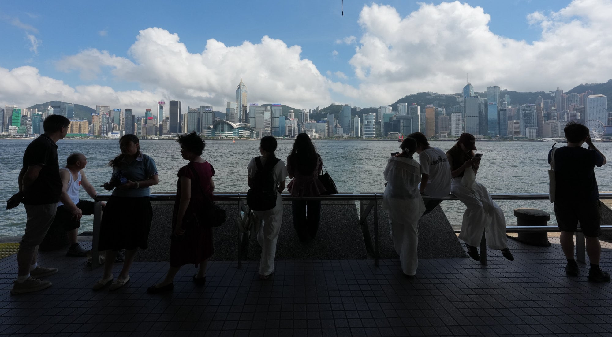
The Hong Kong Observatory issued an amber rainstorm warning on Friday night for 1½ hours after an intense heatwave earlier gripped the city, with temperatures climbing as high as 36.7 degrees Celsius in parts of the New Territories during the day.
The amber alert, the lowest of a three-tier rainstorm warning system, was issued at 10pm and cancelled at 11.30pm. The warning means heavy rain exceeding 30mm (1.2 inches) in an hour has fallen or is expected to fall over Hong Kong.
The Observatory recorded maximum temperatures of 36.7 degrees in Sheung Shui and 36.6 degrees at Yuen Long Park at mid-afternoon. Other areas, including Tai Po, Sha Tin and Tseung Kwan O, also saw temperatures exceeding 35 degrees.
But cooler weather is expected on Saturday, with temperatures ranging between 27 and 31 degrees.
“The anticyclone aloft will weaken [on Saturday], while upper-air disturbances will bring showers and thunderstorms to Guangdong,” the forecaster said.
“An easterly airstream will affect the coast of Guangdong in the next couple of days. High-temperature weather will be alleviated.”
The public can expect sunny periods and a few showers on Sunday and Monday, before the weather becomes very hot from Tuesday.
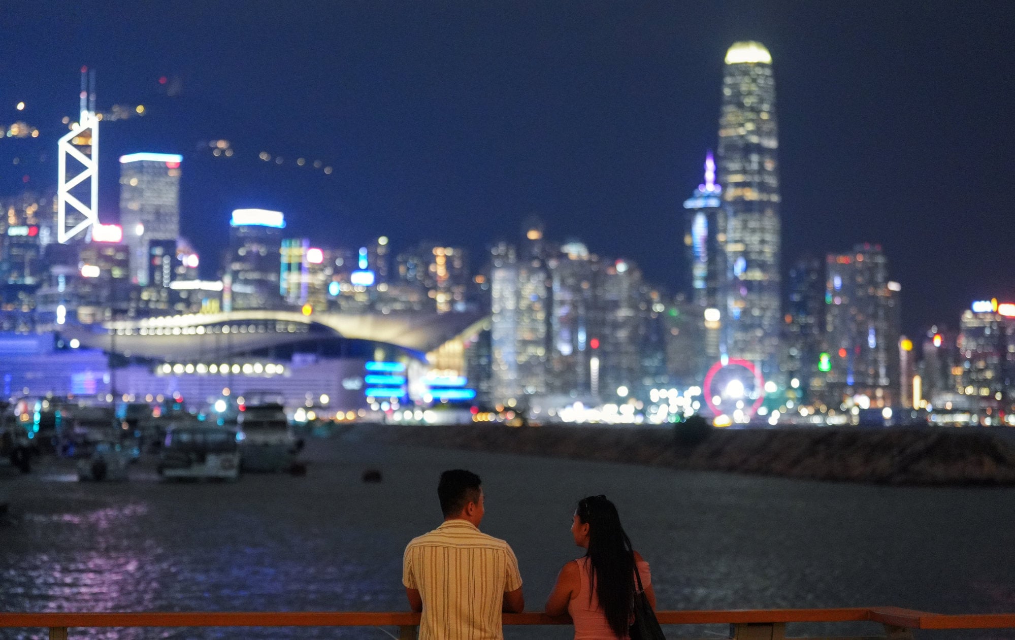
The Observatory said the minimum temperature at its headquarters in Tsim Sha Tsui had remained at or above 28 degrees for six straight days through Thursday night, equalling the previous May record set in 2021 between May 16 and 21.
Another hot night would extend the streak to seven days and set a new May record. The weather forecaster defines a hot night as one in which the minimum temperature at its headquarters does not drop below 28 degrees.
Acting assistant director Choy Chun-wing said the heatwave was being driven by the anticyclone aloft, which suppresses cloud formation and rainfall, allowing prolonged sunshine to push temperatures higher.
“Clouds and rain form when moisture rises and condenses,” he said on a radio programme.
“Under the influence of an anticyclone aloft, however, descending air suppresses it, resulting in drier conditions and fewer clouds. With longer periods of sunshine, temperatures can rise more significantly.”
The Labour Department issued an amber warning at 7.30am, indicating that heat stress levels in some working environments were high and urging employers and workers to take appropriate precautions.
Choy warned at a press conference on Thursday that Hong Kong was likely to experience above-normal temperatures this year and in 2027 due to climate warming and the development of an El Nino event in the equatorial Pacific.
Sea surface temperatures in the central and eastern equatorial Pacific had already risen above normal, he said, with climate models indicating that an El Nino event was likely to develop in summer or autumn and persist until at least the end of this year or early next year. The event could reach moderate or even strong intensity.
Under the combined effects of climate change and a stronger El Nino, Hong Kong’s annual mean temperature was expected to be significantly above normal this year and in 2027, Choy said.
Choy added that there was a high chance 2026 would rank among the city’s 10 warmest years on record.
The Senior Citizen Home Safety Association said 65 users sought help through its emergency call service between midnight and 6am, with nine requiring hospital treatment.
The organisation had earlier urged older residents and their carers to take precautions against the heat, noting that a survey last year found nearly one in four elderly people had experienced heat-related discomfort, including dizziness and breathing difficulties.
The association said it handled more than 7,700 emergency cases requiring hospitalisation last summer.
Meanwhile, the forecaster said Severe Tropical Storm Jangmi was centred about 1,180km (733 miles) south-southeast of Okinawa as of 9pm and was forecast to move northwest across the western North Pacific, to the east of the Philippines, while gradually intensifying. -- SOUTH CHINA MORNING POST