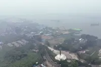
JAKARTA (Bernama): Smoke pollutants from forest and land fires in Indonesia’s Sumatra and Kalimantan are drifting towards the Malacca Strait and Natuna Sea, raising the risk of transboundary haze affecting Malaysia, Singapore and Brunei.
A Meteorology, Climatology and Geophysics Agency (BMKG) forecast for Aug 29 and 30, presented during the National Disaster Mitigation Agency’s (BNPB) daily online press conference on Sunday, showed concentrations of PM2.5 from the fires spreading northwest, with winds potentially carrying the pollutants towards the three neighbouring countries.
BNPB Acting Head of the Data, Information and Disaster Communication Centre Berton Panjaitan said haze conditions remained severe in parts of Kalimantan, with visibility across three priority provinces ranging from just one to 1.5 kilometres compared with visibility of between 2.4 and five kilometres in the affected provinces of Sumatra.
Air quality also remained hazardous in several parts of Kalimantan, with the Air Pollutant Standard Index (ISPU) reaching 877 in Katingan, Central Kalimantan, followed by 720 in Southeast Pontianak, West Kalimantan, and 715 in Barito Selatan Sanggu, Central Kalimantan, as of 4.41 pm on Sunday, he said.
"When air quality reaches unhealthy or hazardous levels, we always advise people to minimise outdoor activities and, if they must go outside, to wear a mask,” Berton said.
Berton said hotspots also continued to increase in parts of Kalimantan, with Central Kalimantan recording the sharpest rise, increasing by 876 to 5,391, while West Kalimantan saw an increase of 453 to 3,824. South Kalimantan, however, recorded a decline of 279 to 1,077.
He said fire spots declined across all three provinces, to 56 in Central Kalimantan, 16 in West Kalimantan and 52 in South Kalimantan, while in Sumatra, hotspots fell to 804 in South Sumatra and 264 in Riau, but increased to 135 in Jambi.
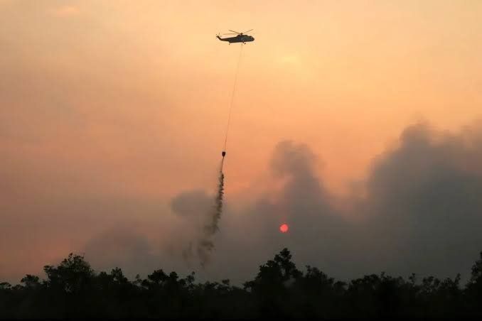
"Across the six priority provinces, 48,667 personnel remain on standby and are carrying out monitoring, firefighting, cooling and wetting operations on land that is either at risk of burning or already burning,” he said.
He said 53 aircraft had been deployed, including 34 for water bombing and 13 for patrols.
Separately, Berton said firefighting operations were also being stepped up in West Papua, where 35 hotspots and eight fire spots had been detected, affecting an estimated 2,496 hectares, while visibility ranged from five to nine kilometres.
-- BERNAMA