
JAKARTA (Bernama) -- Air pollution hit hazardous levels in six locations across Indonesia on Friday, with Pekanbaru recording the highest Air Pollution Standard Index (ISPU) reading of 835, while a map presented by the authorities showed smoke from parts of Sumatra and Kalimantan extending northwards towards Malaysia.
Data presented during an online press conference showed that the other five locations were all in Central Kalimantan province, with Katingan recording an ISPU reading of 456, followed by East Kotawaringin at 364, Gunung Mas (341), Murung Raya (319) and Jekan Raya (301).
National Disaster Mitigation Agency (BNPB) Acting Head of the Data, Information and Disaster Communication Centre, Berton Panjaitan, urged people affected by smoke from forest and land fires to reduce outdoor activities and seek medical attention if they experience health problems.
"If outdoor activities are necessary, please continue to wear masks. Those affected by the smoke should immediately seek assistance at the nearest community health centre, clinic or hospital,” he said at the press conference.
Under Indonesia’s ISPU classification, readings of 301 and above are categorised as hazardous, the same numerical threshold used for the hazardous category under Malaysia’s Air Pollutant Index (API).
Berton said a Meteorology, Climatology and Geophysics Agency (BMKG) forecast showed dense smoke concentrated over parts of Central and West Kalimantan, with winds carrying the pollutants northwards.
The map displayed during the press conference also showed smoke from parts of Sumatra and Kalimantan extending northwards towards Malaysia.
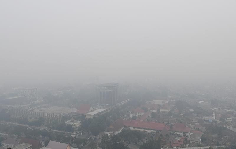
Berton said six provinces remained priorities for tackling forest and land fires, namely Riau, Jambi and South Sumatra on the island of Sumatra, as well as West, Central and South Kalimantan on Indonesian Borneo.
He said hotspots increased in three of the six priority provinces, with Central Kalimantan recording the sharpest rise, from 412 to 4,359, followed by Riau, up 139 to 207, and Jambi, up 14 to 56.
In contrast, he said hotspots fell by 1,083 to 1,742 in West Kalimantan, by 180 to 899 in South Kalimantan and by 24 to 1,151 in South Sumatra.
The indicative burnt area across the six provinces stood at more than 75,386 hectares, with West Kalimantan accounting for the largest area at more than 38,310 hectares, followed by Riau at more than 16,465 hectares and South Kalimantan at more than 10,095 hectares, he said.
Meanwhile, in a separate development, National Police Criminal Investigation Department Special Crimes Director Brig Gen Mohammad Irhamni said the number of suspects in forest and land fire cases had risen to 89 from 72 previously as police intensified investigations, particularly at fire sites, according to Antara news agency.
He was reported to have said that the suspects identified so far were individuals, but investigators were examining evidence for possible corporate involvement, with 189 police reports lodged to date. -- BERNAMA